
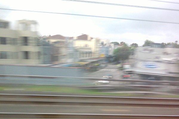
This photograph which was taken as the train whizzed past at 60 miles an hour (sorry for the blur), shows what appears to be a street which passes under the railway lines and out the other side. There's nothing odd about that until you consider the actual lie of the land and realise that no such street exists. There is an electrical substation and a pedestrian tunnel and that's about it.
I stumbled across a document earlier in the week to do with the initial electrification of the Sydney Suburban Railway Network and found that the documents referred to a booking hall at Stanmore which resembled that of Burwood with the ticket office under the railway lines at a place called Viking Street but the earliest street directory that I could find which was the Gregory's from 1932 doesn't seem to think that such a street exists.
Now I know that in building the electric railway network of Sydney, there were considerable numbers of streets that were destroyed when the land was resumed. A similar process happened in North Sydney in the mid 1960s when the DMR bulldozed entire streets to make way for the Warringah Expressway; so I guess that this kind of thing isn't all that surprising.
The problem that I have with Viking Street though, is that there is not a street either to the north or the south which still retains the name and nor do the two streets to the north or south of the railway station look as if they would have formed a nice straight line between them.
For there to have been a Viking Street in Stanmore where the document suggests that it might have been, there was either a really strange looking intersection to the north or the south of the railway station or perhaps even two of them.
The other problem that I have is that I have no idea what's hiding behind that electrical substation. If the pedestrian tunnel exists because it makes use of the existing Viking Street tunnel then that would make sense but if there is just earth behind the electric substation, then what? Was Viking Street filled in at some point, or did it never exist, or was it perhaps a trap street in the same way that there are paper towns on maps to catch copyright infringement, or was it even a proposal for a future street and I've just read the document incorrectly? I have no way of knowing now and I can not remember what document I was looking at.
This is the mystery of the disappearing Viking Street. Did it exist and then go away? Did it never exist at all? Was it a proposal? Where was it supposed to have been anyway if it did or didn't exist? Not only do I not know the answers to those questions but I don't really know who to ask either. Viking Street if it did exist, probably did not by about 1931 and to find anyone whose memory of the area of more than eighty years ago and have it be reasonably reliable enough to rely on, is itself asking a difficult task.
It's possible that Percival Street was once named Viking Street and was renamed but there's almost certainly no one left who remembers and with that, it has ceased to be.
Viking Street if it did exist has gone the same way as Dumbleton, Pippita and Golden Grove. The problem with this sort of thing is that once the memories of places, people and things fade, they more or less cease to exist except as names in documents. Those documents of themselves have no memories and the names cease to mean much to people that are left to read them.
Viking Street if it did exist has gone the same way as Dumbleton, Pippita and Golden Grove. The problem with this sort of thing is that once the memories of places, people and things fade, they more or less cease to exist except as names in documents. Those documents of themselves have no memories and the names cease to mean much to people that are left to read them.
No comments:
Post a Comment